Showing posts with label CA58. Show all posts

Saturday, January 21, 2023

[M3] Road trip!! SF > Palm Springs in DTM machines


A year ago, I kicked off my 2022 automotive calendar with an amazing road trip down to Palm Springs in the Focus. You can read about that here on the blog (part 1, part 2, part 3). The purpose of that journey was to attend the one-day M School at the BMW Performance Center West in Thermal, CA, just east of Palm Springs. I made a point of avoiding the soul-crushing boredom of I-5 on that trip, and in the process discovered some gems of roads through central California.

I enjoyed myself so much at M School that I signed up again for January of 2023. This time, I decided that I wanted to make the trip in my M3, and I enlisted a friend to join me as well. Kevin is a great friend with one of the nicest E30 M3s on earth, and he was brave enough to join me on this journey of 1200+ miles in our 30 year-old cars, driving off the beaten path. I drew heavily from last year's route, trying to balance trip time with road quality and scenery. Here's the route we took:


[note: CA-33 is closed as I write this, so I can't provide an accurate updated map; this is the map from the Focus trip again, it's the same through Ventura]

Google maps link: https://goo.gl/maps/b2enJJNyuwsKZNDE7 [will update]

Overview:
  1. 101 south to Atascadero, stop for lunch and fuel
  2. Exit 101 in Santa Margarita, catch CA-58 east
  3. Follow CA-58 until it hits CA-33
  4. Take CA-33 south, stop in Maricopa for fuel
  5. Follow CA-33 / CA-166 south, turn south to remain on CA-33 / Maricopa Highway
  6. Follow CA-33 all the way down through Ojai into Ventura, stop for fuel
  7. 101 east to 134 east to 210 east, stop in Pasadena for dinner
  8. 210 east to 10 east all the way to Palm Springs
There was a bit more prep work required for this trip compared to the previous journey in the Focus. I thoroughly inspected the car and found no issues except for a pool of coolant in the driver's footwell, courtesy of a leaking heater valve. No heat for the trip, then. I decided to apply the "umbrella" strategy (bring an umbrella and it won't rain) and packed the trunk full of tools as well as some M3-specific components that might save us from an extended stop on the side of the road. Of course, my best vintage car tool is a Premier-level AAA membership, which includes a once-yearly 200-mile tow. We packed simple 2-way walkie-talkies to help with car-to-car communication, something hugely helpful for quick communications and alerts about upcoming vehicles with lights on the roof.


Poor Kevin lives 100 miles north of me, so his Saturday (1/7) started early. We met at my place, ate chicken biscuits, and did a final once-over before filling up our tanks and hitting the road. We merged on to the 101 at 9.45a Saturday.


The opening leg - about 3 hours due south on the highway - was uneventful. We tiptoed past the CHP command post in King City and arrived in Atascadero for an In-N-Out lunch (mandatory for any CA road trip) and fuel.


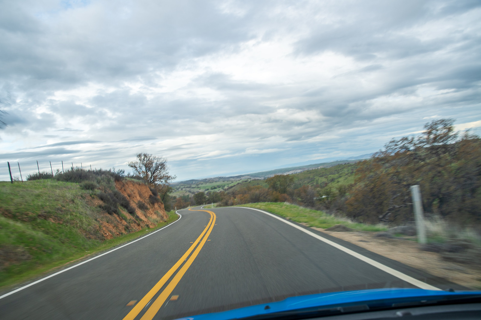
We hopped on the 101 again briefly to reach Santa Margarita, where we connected with CA-58 and left the highway behind. On last year's trip it was "love at first drive" with this road, and 2023 did not disappoint. The road quality is excellent and there was not a single car to slow us down across the uncharacteristically green scenery, courtesy of a very wet winter season.


Last year I didn't stop for photos - this year we did. 


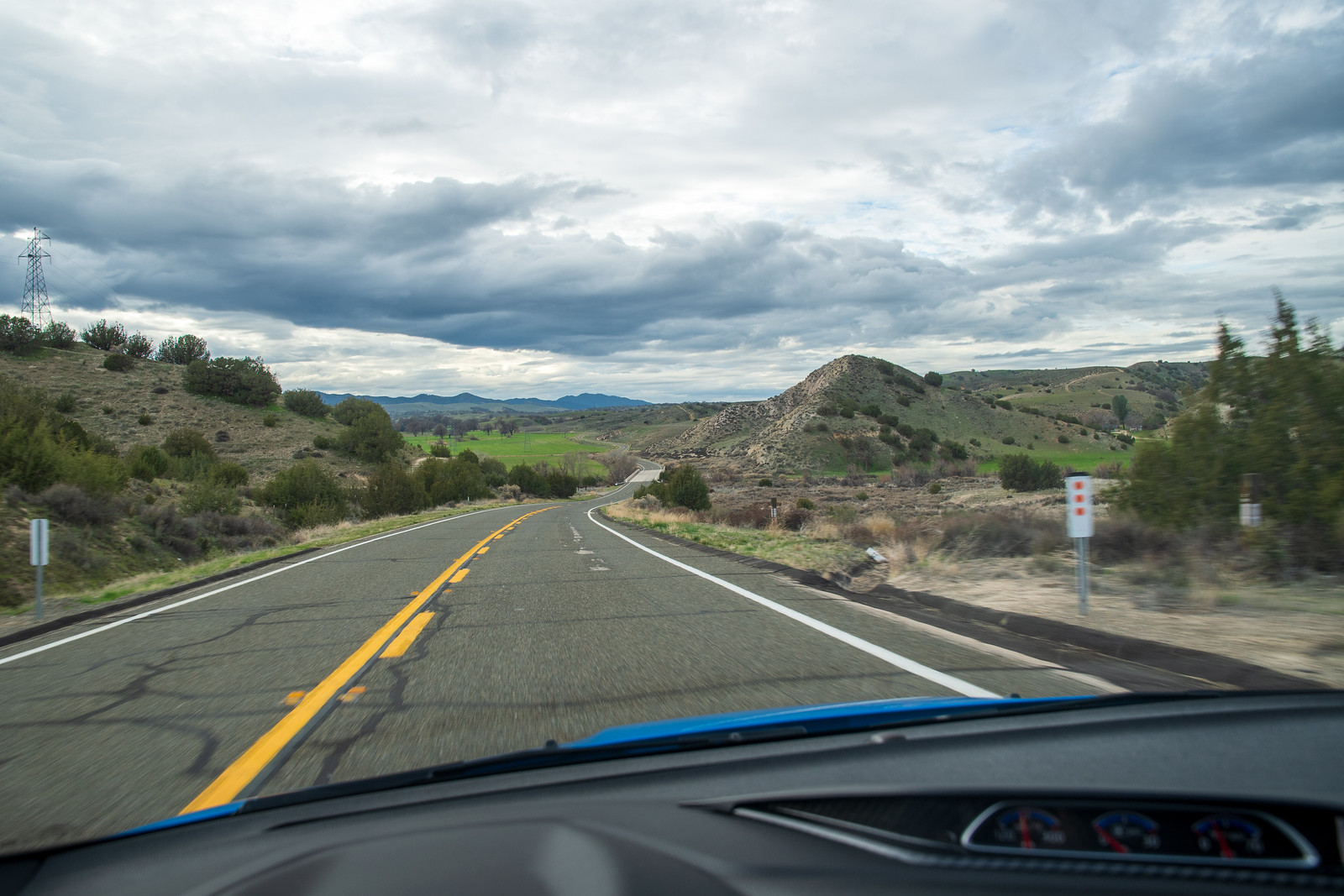
Midway through CA-58 there is a reprieve from the squiggles and the road becomes dead straight, breaking up solar panel farms. Well - it's straight on the map, but there is a sequence of blind rolling hills that serves to jostle your lunch around and make you nervously lift off the accelerator pedal, unable to see what's on the back side of each crest. I managed to catch an interloper in one of my photos snapped blindly through the windshield, a lone coyote.


We stopped again to enjoy the vast expanse and total quiet of the empty plain.


"You know," I said to Kevin, "I've always wanted one of those 'middle of the road' photos, but I've never been brave enough to do it on any roads in the Bay Area."

"Well," he said, "there is no one out here, and we can see miles in both directions." And so we did middle-of-the-road photos. Of course we didn't just park our cars - in these photos we're both hunched over behind the wheel, car running, ready to clear out as soon as we hear a car coming.


None did.

[photo credit: Kevin Lee]


CA-58 is a greatest hits album of a road, offering a complete and varied package of scenery, cambered curves, and long straights. But the top single from the album is the eastern end of the road, a descent past the Temblor Range into the central valley. This is a dream piece of road, perfect in every way except that it's so absolutely in the middle of nowhere.


At the bottom of the hill we intercepted CA-33, following it south through the oil fields and small towns of Taft and Maricopa. We stopped for fuel in Maricopa - not strictly necessary, but I prefer to top off with good quality gas when venturing off the beaten path.


CA-33 and CA-166 coincide south of Maricopa, and we traced them down for a few miles before turning south to stay on CA-33 / Maricopa Highway toward Los Padres National Forest. 


I recycled one of the photo spots I found on last year's trip - not too shabby.


The sun started to sag pretty low, and we still had to get up and over the hill, through Ojai and to our next stop in Ventura. Pre-trip we'd discussed the option of Malibu canyon carving, but we'd spent a fair amount of time stopping and snapping photos (no regrets) and the 5p winter sunset meant we had to pick up the pace. I didn't want to be on these unfamiliar canyon roads in the dark.


CA-33 is another road worth a few hours' detour in a sports car. My favorite part is the series of S-curves along Sespe Creek, perfect in third and fourth gear in an E30 M3. The downhill portion into Wheeler Gorge is superlative and when we came through, the hills were purple with dusk and the sunset was unfolding on the western horizon. It was one of the most beautiful things I've ever seen.


As the sun set on the California day, it also set on the fun parts of our drive to Palm Springs. We caught traffic in Ojai, and by the time we made our fuel stop in Ventura it was fully dark. We met some great people at the Chevron - a group of teenagers who'd been surfing all day and come over from the hotel next door for some munchies. "Did you see the waves? Biggest in 50 years!" We did not see the waves, on account of the dark, and generally not seeing the Pacific Ocean all day. We also met a really nice guy who had previously worked in a BMW performance shop and gave us the bona fide BMW guy seal of approval for our cars and our S14s. I think he said he used to own an E34? He had followed us in to the gas station when he saw us come by, just to check out the cars. His poor wife was waiting in the car while we chatted. (full disclosure: I have done the same to Sara)


Because it's LA, there was traffic and our planned straight shot of 101-210-10 due west was complicated. In any case, we stopped for dinner in Pasadena. I've never been - nice downtown, lively with a lot of cool restaurants. 

Leaving Pasadena, it was a straight shot down 210 to I-10 out to Palm Springs. At one stage of this leg, we came up behind an F80 M3 on the highway. I radioed to Kevin and we flanked the M3 on either side, dropped into 4th, and did a stereo carbon airbox ricer flyby on the M3 for a laugh. There was no reaction at all, lame.

As is tradition, an hour outside of Palm Springs I cued up Queens of the Stone Age's 2002 album Songs for the Deaf. Aside from being one of my favorite records of all time, it's a concept album modeled after the drive from LA to Joshua Tree, jumping through fictional radio stations representing different cities along the route. It was a sadder play-through this year after the death of Mark Lanegan in February of 2022. RIP to a one-of-a-kind voice.


After a short 'victory lap' cruise down Palm Canyon Drive, at 10:30pm we finally rolled in to our hotel, the goofily-named Sonder - The Cole. That's where we'll park this trip for now. Next up: Joshua Tree and BMW M-School.

Saturday, January 29, 2022

[Focus] Road trip!! Palm Springs to SF, the other fun way

Before I left home for the weekend I plotted my route for the entire trip, including the return leg. I didn't know what kind of mood I would be in after two full days of high-concentration driving, and whether I'd still want to explore, or just make a beeline home. The nice thing about both of my maps is that they offered multiple options to break away from the twisties and jump on a highway for a more direct route if my mood changed.

So I set an ambitious course for Monday to give myself the option. Even as I loaded up my bags to leave Palm Springs I didn't know how much I'd stick to the itinerary. In the end, I did it all. Here's the route:

Google map link: https://goo.gl/maps/FzsCY1EHcU47Tez2A

  1. I-10 out of Palm Springs to I-215 north out of San Bernardino
  2. West at the Cajon Junction to Long Pine Canyon Road into Wrightwood
  3. Big Pines Highway northwest through Valyermo, back roads to bypass Palmdale
  4. Elizabeth Lake Road northwest through Andrade Corner as it becomes Pine Canyon Road
  5. Left to stay on Pine Canyon Road, right on Old Ridge Route, into Gorman for fuel and food
  6. West on Frazier Mountain Park Road, continue as it becomes Hudson Ranch Road
  7. North on 33
  8. West on 58 to Atascadero, final fuel stop
  9. 101 north to the bay.
I didn't have any reason to go through Los Angeles on the return trip, so I decided to cut up between Big Bear and Mount Baldy, tracing through Wrightwood and the northeast side of Angeles National Forest. I always seem to do these road trips in the winter, and as a Californian I never think about weather. It's typically only as I get close to the grapevine that I remember... oh yeah, there is some elevation and cold here. Wrightwood hosts a couple of little ski hills, so I was not sure what conditions I would find. The weather for the surrounding days was in the 40s+ with no precipitation, so I told my Michelin PS4S it would be fine and hoped they'd believe me.

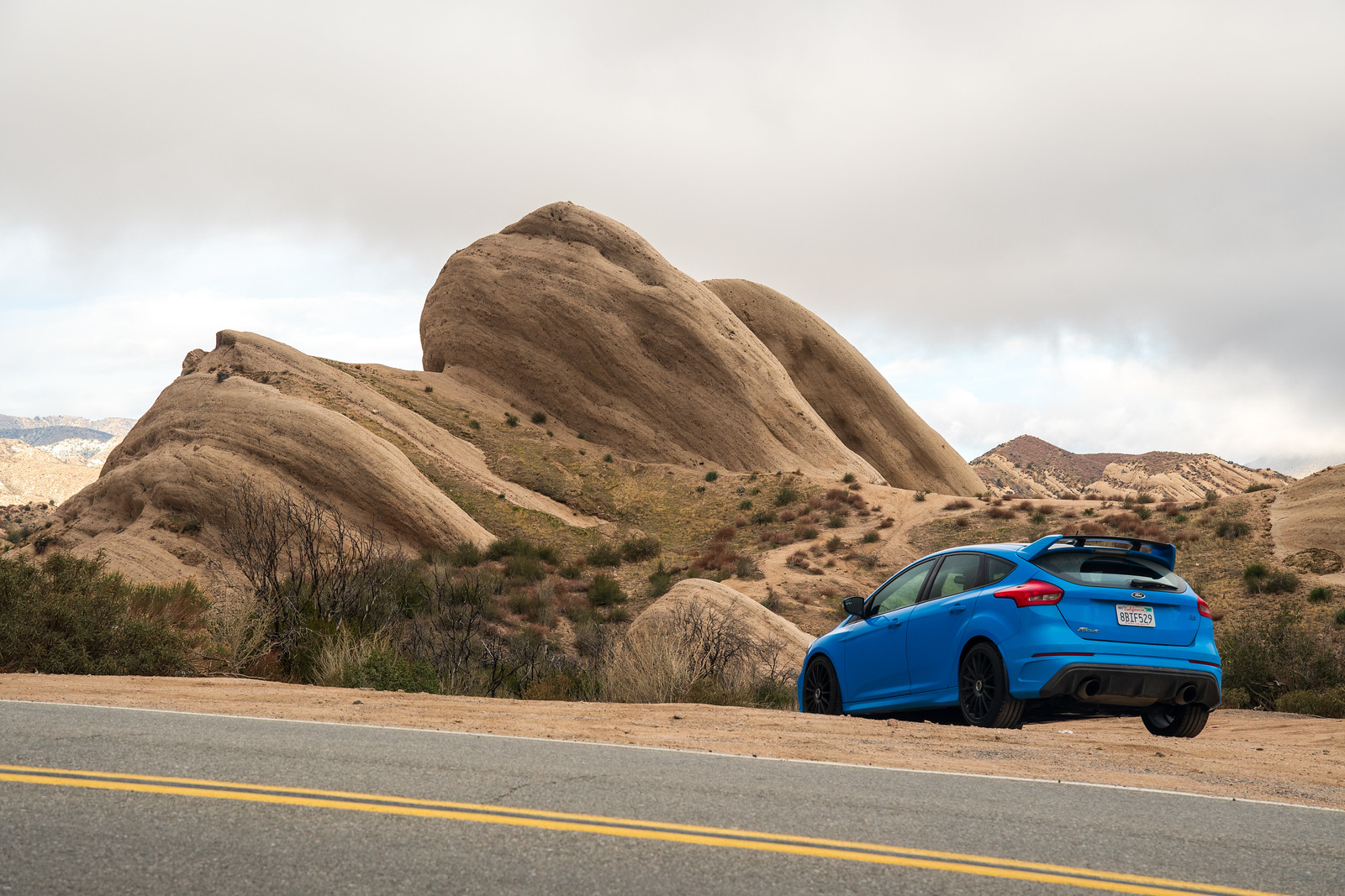
It was a slow start, with a considerable dump of rain on the opening highway leg of I-10 and I-215. Thankfully this cleared as I came up to the Cajon Junction, where I could lave the commute traffic behind. Almost immediately I was upon some great views and rock formations.


There was a "Chains Required" sign at the east end of Lone Pine Canyon Road, but with no white stuff in view I was dubious. I watched a dozen non-AWD sedans go by on what looked like normal tires, and decided to press on.


I saw my first patches of snow on Long Pine Canyon, little pockets up high in the hills on the side of the valley I was in, and then a little bit closer as I started gaining elevation. By the time I came into the back side of Wrightwood there was snow on the ground, but dirty enough to convince me that it had been cleared some time ago. One house on the left had a shiny C3 Corvette parked out front with the windows down, so I took this as a good omen.

By the time I reached the west side of Wrightwood, it was spitting rain and the Focus indicated 42F. There was a good amount of snow lining the road and a gravel mixture laid down some time ago by a road crew. I don't know if California uses salt... hope not. I had to stop for a photo in front of Mountain High ski hill.

I turned off of as CA-2 became the famous Angeles Crest Highway, picking up Big Pines Highway. I nearly lost my nerve at this point, as this road immediately had less traffic, more light rain, and substantial buildup of snow on the shoulders. After some tentative driving I started to go down hill and the snow lessened steadily.

It wasn't long at all before I was in a very different, very barren landscape. Unfortunately wild fire is an increasingly frequent occurrence all over the state, and this must have burned fairly recently, as there was almost no new growth at all.

Google street view shows that it looked quite different in 2017: https://goo.gl/maps/3CXvRz2cmttZTLus6


I pressed on, cutting west across the hillside and bypassing Palmdale to get to Elizabeth Lake Road. This was a relaxed drive in low hill country with some lakes and homes. At the Three Points junction I turned left to stay on what was now Pine Canyon Road. On this section of the road the center line disappeared and there was a heavy coating of gravel and sand. More than any other time on the trip, I was happy here that I was not in the Skyline, sandblasting the paint. The Focus has a clear bra and mud flaps that seem to have done a very respectable job dealing with the shrapnel. A good thing, because I certainly wasn't going to slow down for it.

Pine Canyon teed off into Ridge Route Road / Old Ridge Route, where I got these photos overlooking CA138 and Quail Lake. I used Gorman Point Road to continue avoiding I-5 and hit downtown Gorman for a fuel and lunch stop.

The cockpit. Yeah sure you could argue that EVs and autonomy are the biggest revolutions in the last decade of car tech... but you'd be wrong. It's Apple CarPlay, saving us all from terrible OEM infotainment systems. I've got Ford's CF shift knob, door 'spears,' gauge trim, and euro cup holder spicing up the interior. I must be getting old to say this, but the power lumbar support on the seats is excellent for these long road trips. It's not that one position is always more comfortable than the other, it's just that being able to vary the positions really helps with fatigue.

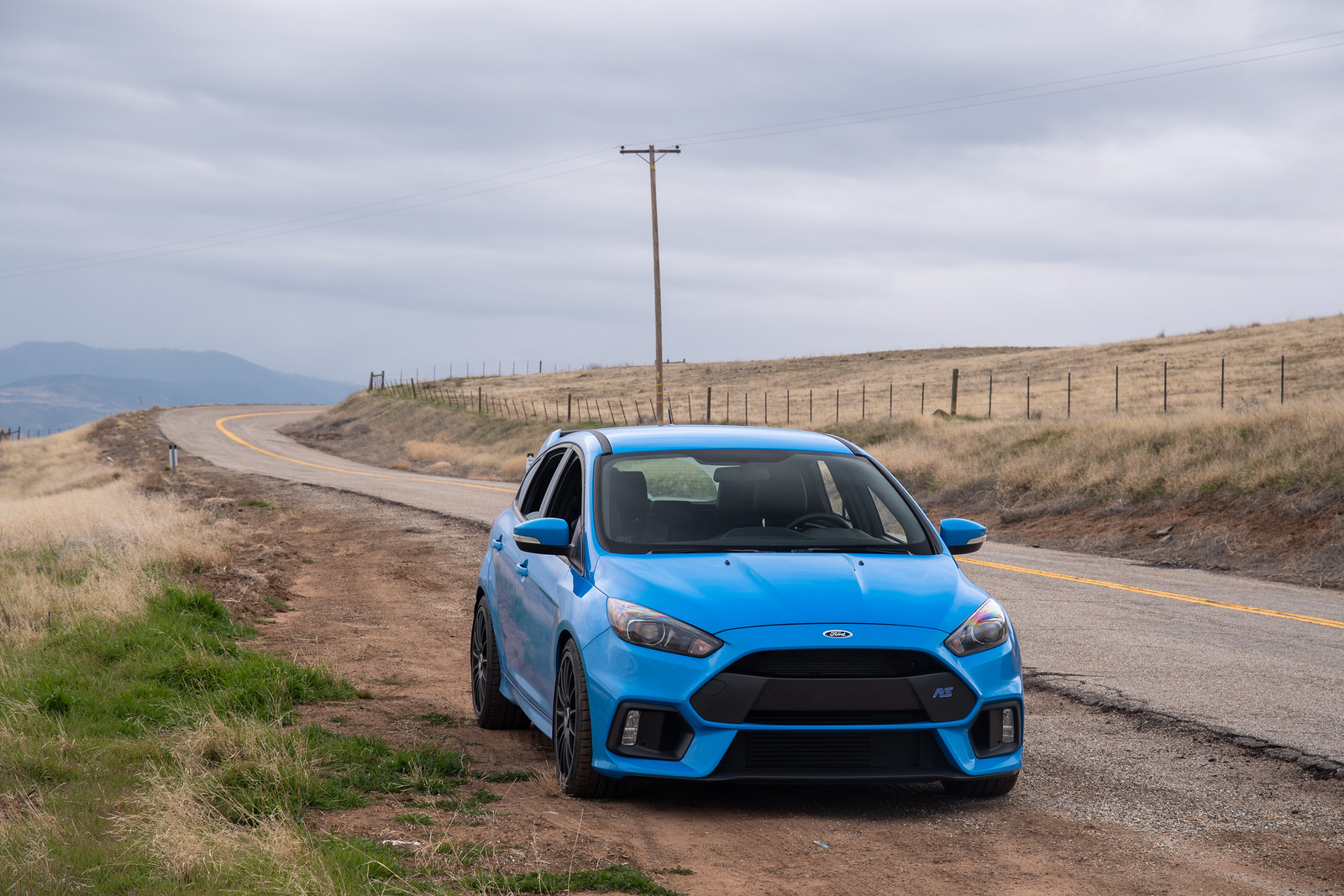
Dirt collecting in all pockets of turbulent air. I have to admit, with tire protection as my top priority, I was nervous pulling onto all of these dirt shoulders for photo ops.

After lunch and fuel in Gorman, I danced around I-5 and used Ralphs Ranch Road to get to Frazier Mountain Park Road, which I took westward. This road changes names a few times and routes through a few different cabin-y vacation towns: Frazier Park, Pinon Pines Estates, and Pine Mountain Club. I didn't see any particularly tall peaks, but it all had the feel of a ski town, just without snow. I'm not sure why you'd come to this area, which is not particularly convenient to... well... anything?

I was mixed in with local traffic for the first half of this stretch, and it was drizzling and wet. There were multiple warning signs along the way: chains required; some type of park pass required; bears. I ignored them all and hoped that I would not have to turn around and backtrack to I-5 (ew).

Once through Pine Mountain Club, I was suddenly on my own. The precipitation dried up, the road started curving, and it was pure driving enjoyment.

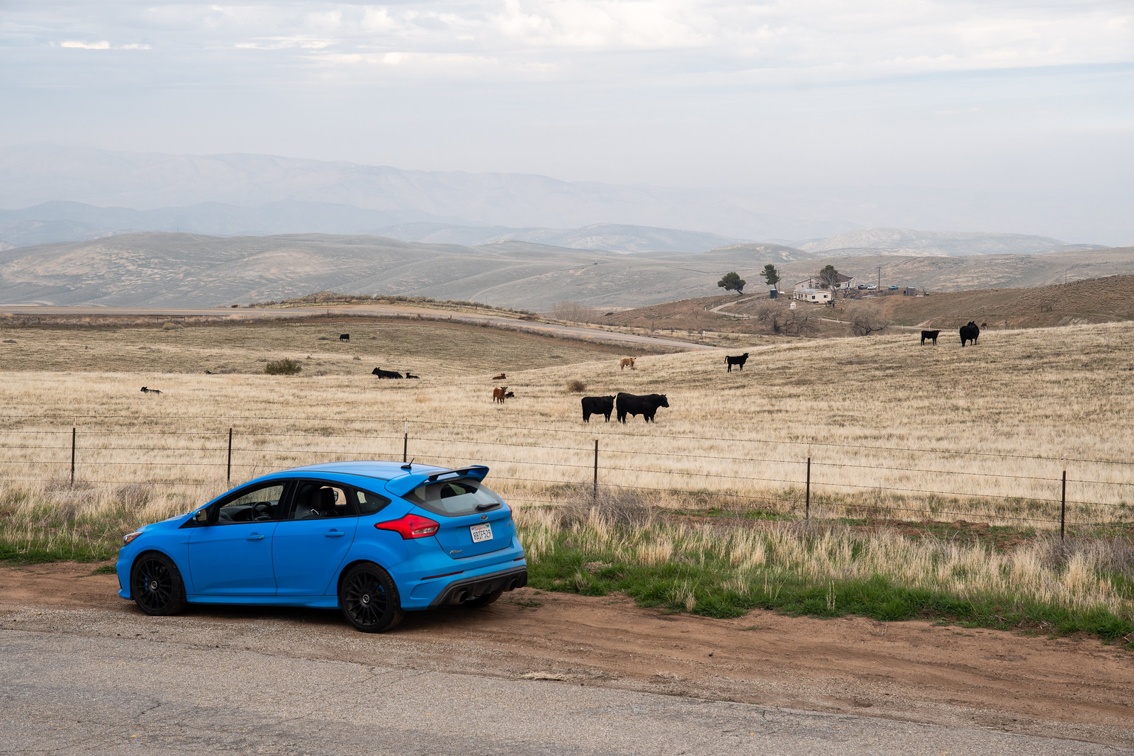
The best part came toward the end, once inside the Bitter Creek National Wildlife Refuge. I'm not sure if these cows are the main attraction of the refuge, but they were quite vocal, mooing belligerently as I snapped photos. 

It was all rolling hills and muted tones of yellow, green, and grey, in some areas nothing but seas of grass with distant mountains forming a backdrop. Serenely quiet too - aside from the cows.

Hudson Ranch Road dumped me back into CA33, which I drove on my trip down. This time I turned right to head north, back through Maricopa and Taft. This whole area is an oil field and for long stretches there is nothing to see but oil derricks. 

CA58 was so good the first time that I decided to take it back. This time there was no rain, and I had a cracking run at the technical climb on the east side. No traffic, just switchbacks. I also made an effort to take better photos, having done so poorly on the way down.

I think I said before that CA58 has a little bit of everything. The photo above shows the transition from the initial twisty bit to the flat, straight bit.

But the flatness is misleading, because the road goes up and over "whoops" that, with enough speed, float your bum out of your seat. You can sorta make them out above.

When you are through the flat straight bit, it flows and highway speeds are no problem. Lovely.


Eventually the ride had to end, and I connected onto 101 through the charming little town of Santa Margarita. One last fuel stop at Atascadero and it was cruise control and audiobook time.

I made it home without incident. The filthy focus, trunk full of tire repair sundries and spare oil, didn't need a bit of it. All in all: 1,121 miles and not a hiccup. Despite being in the driver's seat for 9+ hours I arrived home feeling refreshed, almost wanting to keep going to find the next new road. Almost. But all good things must come to an end, and it was back to work the next morning.

Thanks for reading, I know this was a long one. If you find yourself in a good car, needing to get from LA to SF or the other way around, I recommend any of the roads that I followed on this trip. And though I've said it before, I'll say it again... the RS is an incredible vehicle! A Swiss Army knife of capability. Daily, long-distance cruiser, fun on a backroad at reasonable speeds, fast around the track.