Day 4: Stratford-upon-Avon to Bath
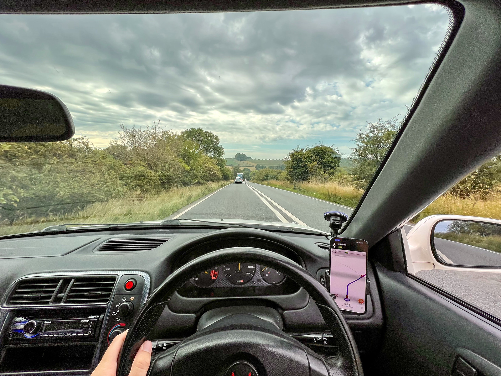
On Monday the road trip began in earnest. I drive a RHD car at home in California (R32 GTR) but I always have some nerves about switching to the other side of the road. I’ve driven in Japan and Australia and it requires deliberate thinking to override a lifetime of habits and muscle memory. The unofficial trip mantra was “left is safe, right is dangerous” as I approached junctions.
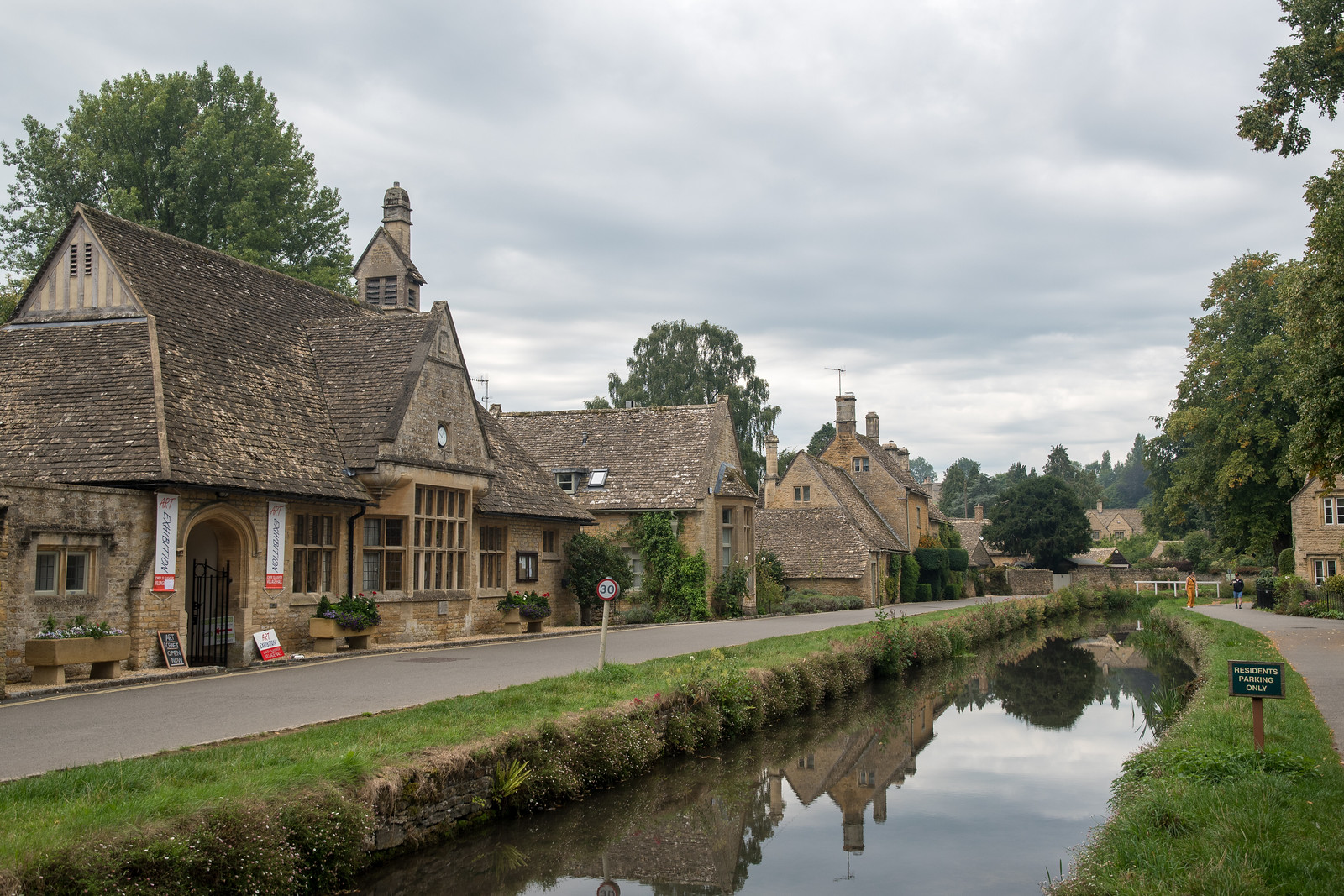
On Chris’s guidance we skipped the motorway and instead followed the Foss Way (A429) south through the Cotswolds. After the first few miles we stopped in Lower Slaughter for a short walk and look around - beautiful little village. Nice backdrop for some Civic photos, too.
We carried on through the farms and rolling countryside, hitting a bit of traffic due to construction. We became familiar with what would be our constant companion on the trip: tall hedgerows flanking the road, blocking some lovely views. Cheaper than fences and probably a bit easier to maintain? Can’t say I loved them, made the driving feel a bit claustrophobic particularly once we got to Cornwall and the center line disappeared.
Just south of Cirencester I glimpsed something alien in the farmland - it looked like the tail fin of a 747. That didn’t make sense, but just as I shrugged it off, we rounded the bend and found a conga line of disused commercial jets. This is the Cotswold Airport. I’m not sure why these jets end up here, but I know a good photo opportunity when I see one.
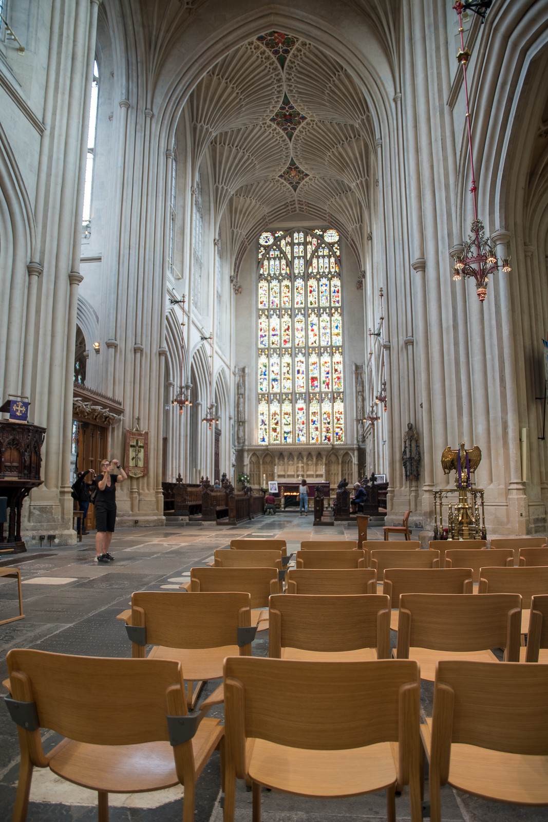
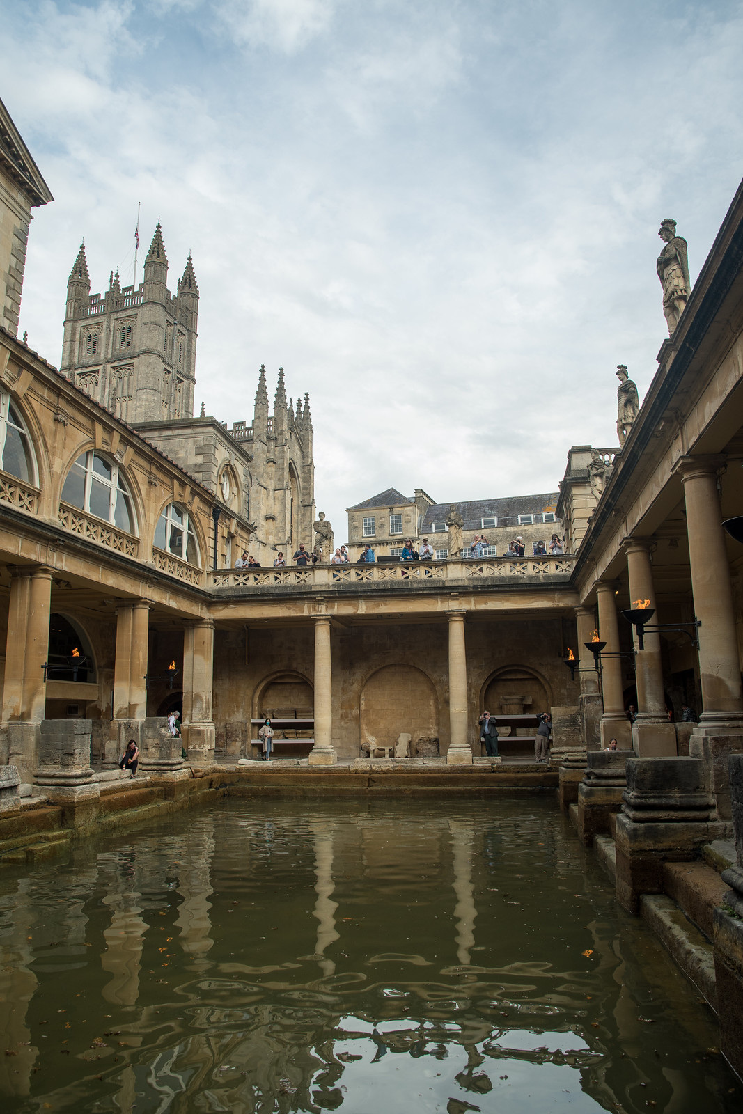
We skirted Chippenham and entered Bath, our destination. The rest of the day was spent on foot, admiring the unique architecture and touring the Baths themselves. I’m no student of history, so my main takeaway was “this reminds me of Italy.” Nice place, we’ll plan to return some time to spend more than ~20 hours.
Day 5: Bath to Fowey
Tuesday was wet. I don’t think Mo drove this car much in the rain, because the wipers seemed to be toast. They did a nice job of smearing and streaking water on the front glass, but did eventually saturate and wipe enough to see which way I was going. I was really missing the rear wiper from my Skyline, I know they don’t look cool but you can’t argue with the utility.
We left Bath, and with it the center lines for many B-roads and lanes. It was raining steadily as we entered Cheddar Gorge from the east side and cliffs grew up on either side of the little Civic. We stopped for a quick look and some photos, but kept moving primarily due to the bad weather. I don’t want to diss anyone’s rock formations, but the gorge didn’t quite take my breath away - probably a result of living near Yosemite. If you’re into tall rocks, I recommend it.
Originally we’d planned to stay off the motorway as much as possible, but a vote was taken in the car and it was unanimous that, given the conditions, we should hop on the M5 and maximize time at our next stop. We made the Civic’s first gas stop near Exeter before driving into Dartmoor from the south side, heading for Widecombe in the Moor. There we planned to eat lunch at a pub recommended by my mate from Cornwall.
I need to interrupt the account at this point to explain that all of our real-time navigation was handled by Waze. I needed three things for this trip: good routing, notifications for traffic cameras, and accurate real-time speed. With the speed cameras I was not willing to trust the Civic’s cluster, which required kph-mph conversions on the fly, compounded by an almost 10kph deviation due to the small tires. Waze delivers well on the second and third points but the first… not so much. Waze will have you drive across someone’s garden to save 8 seconds, so if you are puzzled by the route we took, this is the explanation. Looking back and trying to trace our exact routes in retrospect, I can’t even find the roads we took in Dartmoor.
So with Waze leading the way, we turned off the A38 dual carriageway and promptly navigated a series of extremely narrow 1.5 car width lanes up into the cloudy, wet moor. It was wonderful scenery up here, moody, extremely lush, with rock formations and cows in the road. I found it the most similar to some of Iceland, but with trees and less black / volcanic rock.
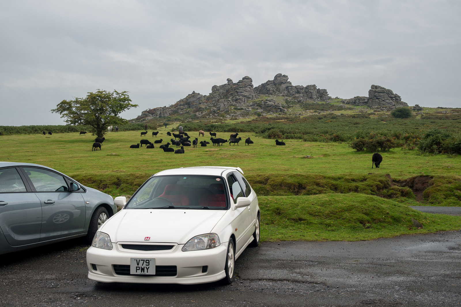
With the navigation saying we were nearly to the pub, we hit road closures and traffic policemen waving us off, deeper into the moor. Waze tried to bring us around another way, but it was clear that something had closed the road just ahead of our destination. We stopped to admire the sheep rocks and found the explanation for the closures:
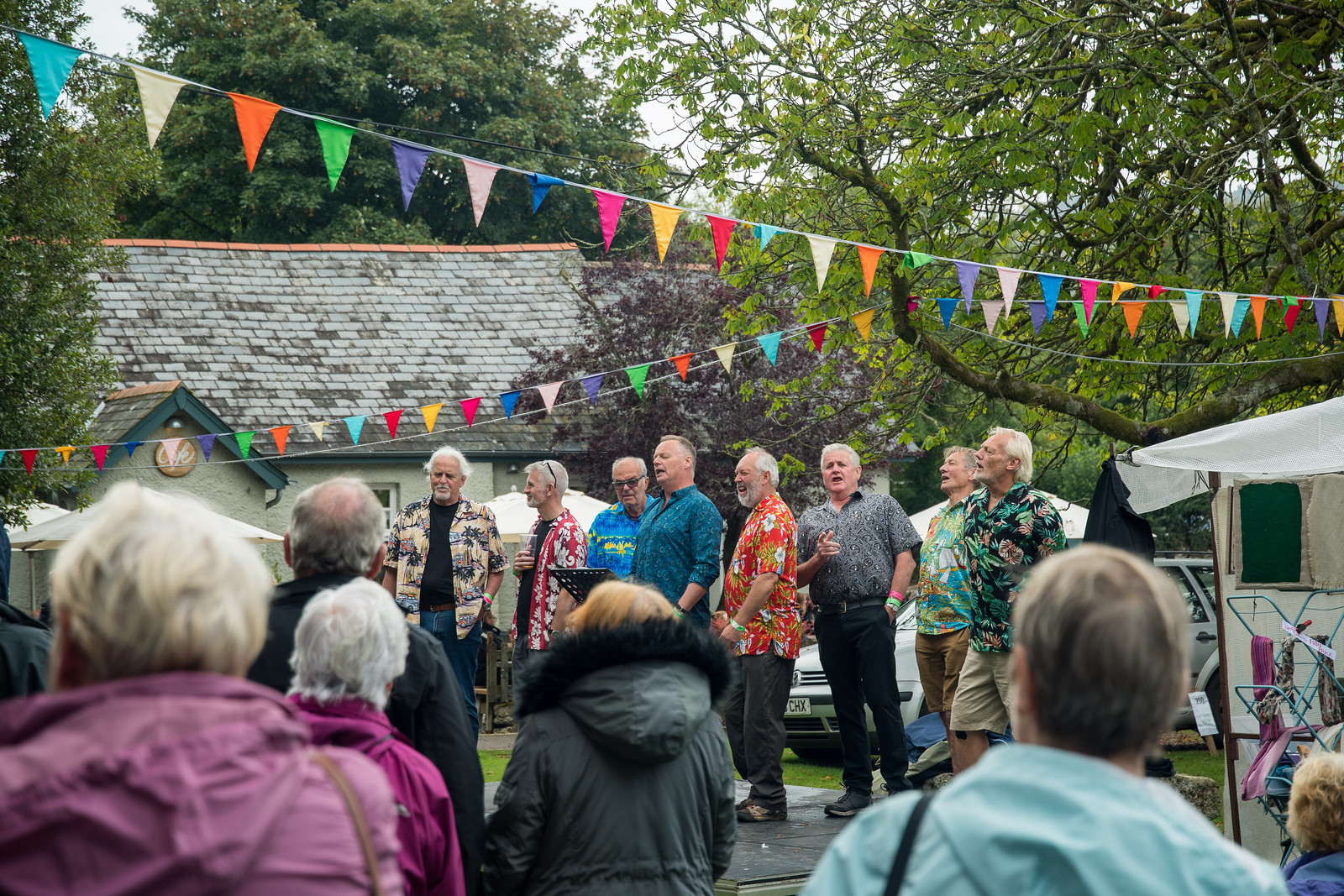
What luck is this? We came to Widecombe on the day of the annual fair, a Tuesday in September of all times. You can’t pass things like this up, so we found the parking area, left the Civic, and rode a coach in to Widecombe on the Moor to soak it all in. We arrived just in time for the Back Beach Boyz' set.
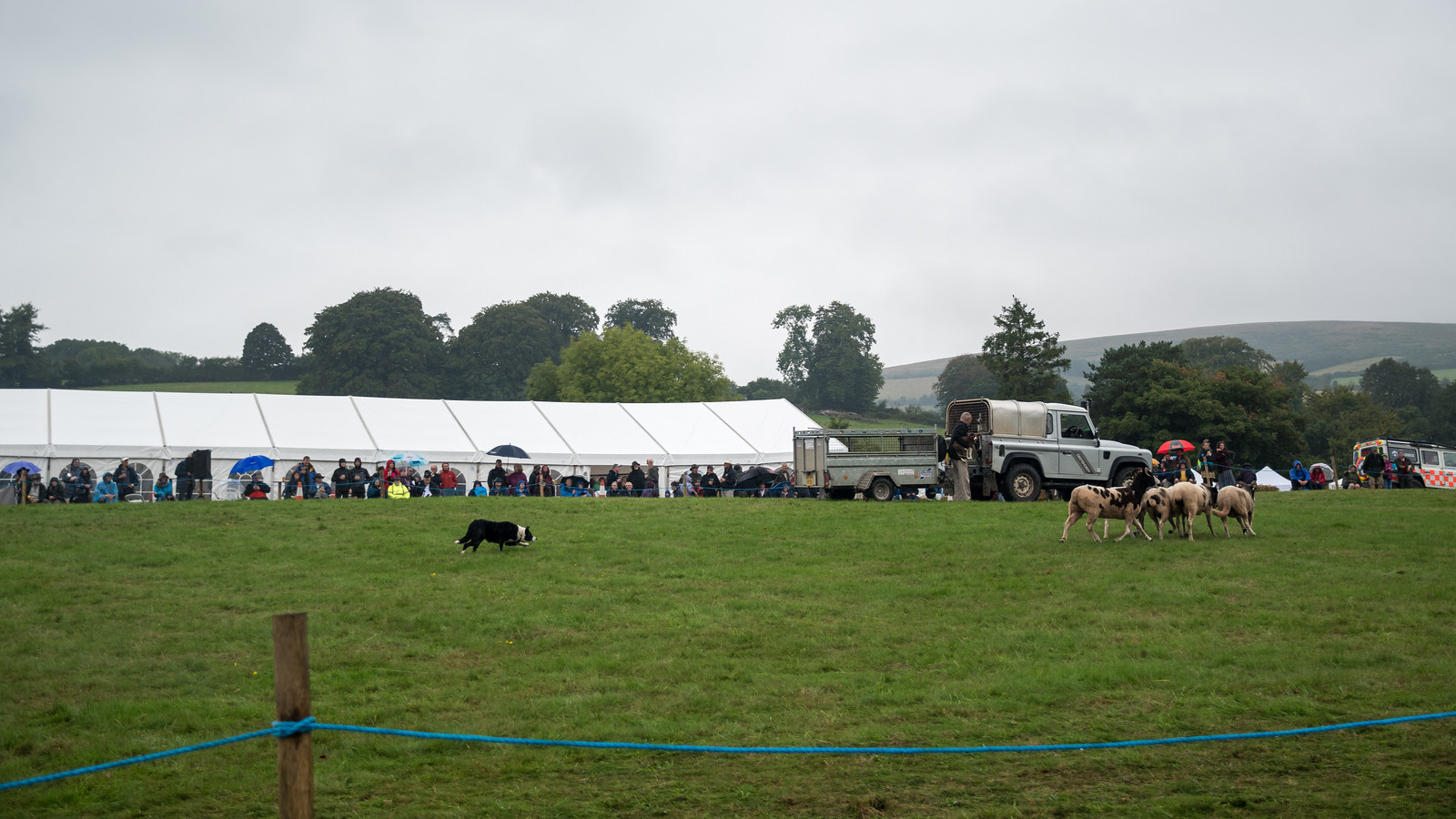
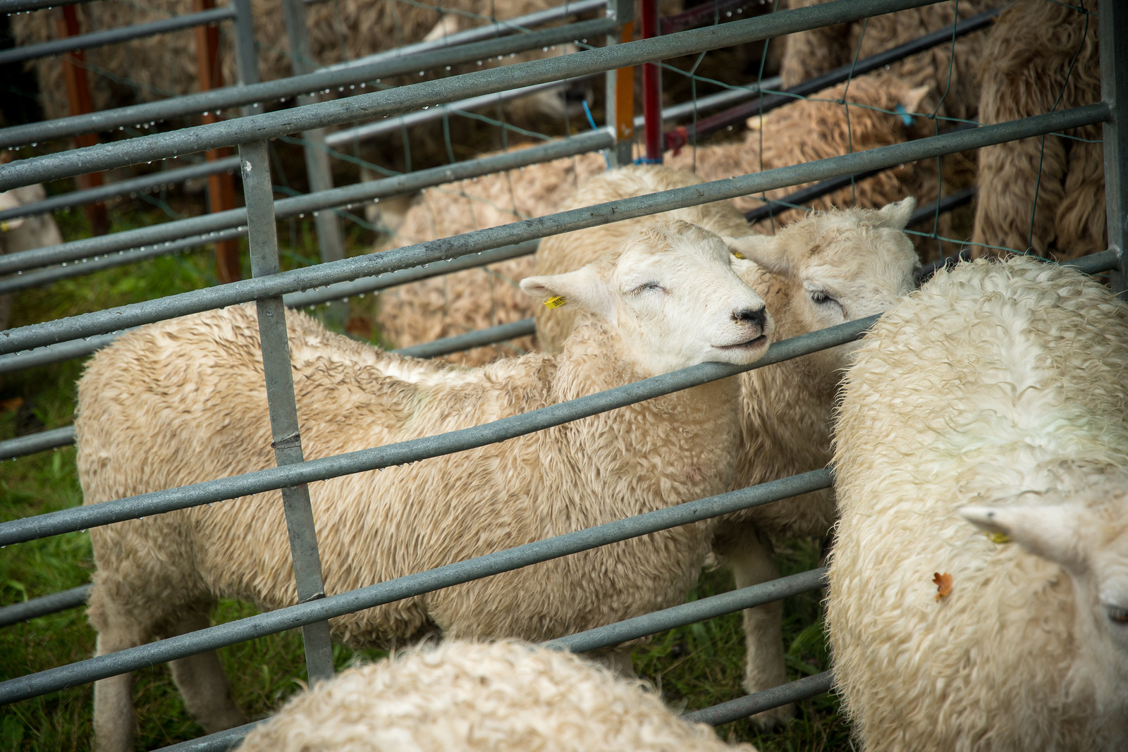
We were able to eat at the intended pub in the end, a meat pie and a beer in the rain - perfectly English. We enjoyed the workhorse and sheep herding demonstrations, and I met some cows. I am certain that we were the only foreign tourists at the event, a happy accident.
After the fair we were meant to drive west across the moor, through Tavistock. Unfortunately Waze, perhaps inspired by the strange road closures, decided that the optimal exit route was north, hitting the A30 at Whiddon Down. Failing to zoom out and check the overview of the route, I followed Waze’s commands and we funneled through a series of lanes, each one somehow narrower and dicier than the last. Studying the map now, I cannot tell you what route we took, only that the final stretch was an absolutely goat road. A single tractor’s width, mostly dirt, with earth and thick brush on both sides, well-worn tracks and a pronounced crown in the center. It is a miracle that we didn’t encounter an oncoming vehicle - I imagine the locals know it’s unsuitable, and no other nav software dares send people on it - because for two eternal miles there was simply nowhere to pull aside and enable a pass. Dragging the front lip along, the mood in the Civic really soured, and I used some of my most colorful words to praise the great work by my friends at Waze. It was brutal, the absolutely driving lowlight of the trip. Do not use Waze in Dartmoor.
Mercifully we spilled out onto the A30 and things improved from there. The weather cleared and we had lovely open views of the Cornwall landscape. At Bodmin we turned south and at last landed in Fowey for the evening. This was our hub for the Cornwall portion of the vacation - three nights here. Unfortunately parking was not available at the hotel so we had to use the public parking lot about a half mile away, atop the steep hill. I was nervous about parking the car overnight in an unsecured location, but it is very much a tourist town, and we had no issues.













No comments:
Post a Comment